Acoustic survey intelligence · MoES SIH Project
Seabed contacts resolved before the survey ends.
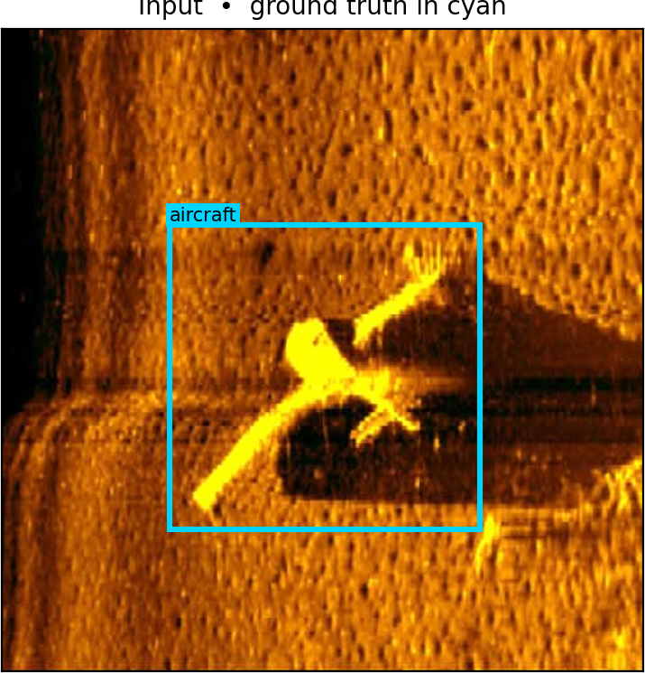
HydroSentry processes side-scan sonar imagery and separates genuine seabed contacts — wrecks, ordnance, aircraft debris, and unclassified anomalies — from the acoustic clutter that fills every survey run.
Operational prototype
DETECTION PERFORMANCE
BENCHMARKBest F1
YOLO + PatchCore
YOLO F1
Tuned YOLOv8
Precision
Corroborative Fusion
False Positives
vs 140 with Naïve Union
Capabilities
Four synchronized processing modules transforming raw acoustic signals into verified survey contacts.
Stream Decomposition
Survey frames are dynamically sliced into overlapping acoustic tiles, surfacing contacts within 400ms without downsampling loss.
Known Objects vs. Anomalies
Matched contacts carry signature confidence scores. Unmatched returns remain explicitly flagged as unclassified anomalies.
Physics Clutter Rejection
Corroborative fusion suppresses acoustic clutter from 140 down to 8 false positives (-94.3% clutter reduction) while maintaining 0.907 Best F1.
Tactical Trackline Positioning
Every contact keeps its survey coordinates, enabling geographic mission reconstruction and swath review along the vessel path.